It is the 1st of June and after spending three-and-a-half weeks sailing north through Canada, we’re finally ready to cross Dixon Entrance and enter Alaska. We need to clear out of Prince Rupert (Canada) and clear into the US in Ketchikan (Alaska). The distance between the two towns is only 90 nautical miles, half of which will be ocean sailing, the rest is up through the straits.
As we’ve written in previous blogs, sailing up here is only daytime sailing as there are many drifting logs and other timber. Those of us that sail slower boats have a difficult time making 90 nm, even though the days are long. Most up here sail motorboats and even the “slow” trawler-like motorboats easily average 10 knots (we average six knots). The 90nm from Price Rupert to Ketchikan at 10 knots is an easy day’s sail for them.
Ninety miles is a looong stretch for us – so what can we do? We can’t legally anchor up in the United States before we have cleared in, but if you call ahead and ask permission from the Customs and Border Protection, you can anchor in a bay known as Foggy Bay (wonder why it got that name). The US Coast Guard checks the bay regularly and woe be the foreign boat that is anchored there without having checked in with CBP. Since we have no wish to part with several thousand dollars of our pension money for a fine, we have called CBP in Ketchikan and gotten permission to spend the night in Foggy Bay.
Of course, our engine is still squealing and Carsten has made an agreement with the local diesel mechanic to stop by in the morning after we reach Prince Rupert. Naturally, there is a great weather window for crossing Dixon Entrance just that and the next day – after than a serious low-pressure system will arrive and the crossing will not be possible for at least a week. So we cancel the agreement with the mechanic and prepare to leave the next morning – surely there is a diesel mechanic in Ketchikan (to quote Monty Python – Always look on the bright side of life).
The best laid plans of mice and men……………….. As usual, this is Vinni and Carsten sailing, so nothing is certain. We pull down a weather forecast just before we hit the bunk and it says heavy fog all the next morning – apparently, this is normal for Prince Rupert.
Prince Rupert lies well-protected in behind Diggy Island – the channel in is just over twelve nautical miles (at least a two hour sail for us). So when you are leaving and want to go north, you have to sail south for two hours, then turn north. The only other option is to take a shortcut through Venn Passage, a narrow (very) twisting run through a shallow area between Diggy Island and Thimpsean Peninsula. The channel is supposed well-marked although there are many whirlpools and maelstroms to contend with. The Pilot Book also mentions that the buoys are frequently moved out of place by the rushing tides, so they aren’t completely trustworthy. Sailing Venn Passage, even in good weather requires a steady hand and keen navigation (how do we get ourselves into these things?).
I’m not as brave (foolhardy) as my dear husband, so I want to sail the extra twelve miles south around Diggy Island and then make an overnight stop at Dundas Island, forty nm from Prince Rupert, the last island in Canada. Since it is Canada, we can just anchor there without having to get permission (we are already legally in Canada). The next day we can continue the twenty-five nm to Foggy Bay (USA). The forecast is saying heavy fog both days, but with a sail the first day of forty nm and twenty-five the second, we won’t have to leave before noon or so, giving the sun a chance to burn off the fog (gads, we’re smart). We hit the bunk with a sly smirk on our faces – we have a plan. When we get up, Carsten makes one more attempt to convince me that we should wait for the fog to burn off then make the run through Venn Passage, thereby cutting more than twelve miles off our run. Hah! How dumb does he think I am?
So we apparently have lots of time the next morning. Carsten decides to go up to the local baker for fresh rolls while I make coffee/tea. On his way, he met the harbormaster and chatted about our sailplan. “Not on,” he says. “By noon you’ll have a horribly strong current running against you, making Venn Passage a hell on water. You’ll burn a lot of diesel and get nowhere. Leave right now, at slack water and go for it. You’ve got both radar and AIS, so don’t worry about the fog.” (as an aside here – we HATE sailing in fog).
Suddenly I hear Carsten come running back down the dock. He jumped on board and said, “We’re leaving right now – get your foulies on and let’s take in the lines.” I might pause here and tell our readers that yesterday evening, I told my dear husband that a herd of wild horses couldn’t drag me through Venn Passage in heavy fog. I still vividly recall our terrifying run down Mosquito Passage in the San Juan Islands. The fog was so thick we literally could not see the Capri’s bow. We almost collided with two small fishing boats as we sneaked out the narrow passage. We could see them radar, but they didn’t answer our foghorn (lazy fishermen) and suddenly they were there – only a few meters in front of Capri. Carsten managed to throw the helm hard over and avoid them (at the risk of going aground – Mosquito Pass is extremely narrow). I have no wish to repeat that performance.
But, who am I? There really isn’t any other option if we want to take advantage of the good weather window. If you are wondering why I am calling heavy fog a good weather window – be reminded that the alternative is a raging gale on an arctic ocean.
There is bad news and then there is worse news.
We took in our lines and made our way, at a snail’s pace, across the bay. There was as huge freighter anchored in the bay, just outside the harbor. We could see it on the AIS and the radar, but never saw it with our eyes –even though we passed about one hundred feet from it. The local fishermen have no fear and come flying across the bay in their small boats, making upwards of fifteen knots (in heavy fog). They know the passage like their pants pocket – we can see them on the radar as they fly past us.
We entered Venn Passage using solely the chart plotter and our radar to guide us – we couldn’t see a thing (ah the memories of Mosquito Pass). The Pilot Book wasn’t lying, more twists and turns here than on a pretzel. I let Carsten take the helm when we do things like this – he’s steadier than me – either because he doesn’t think about all the terrible things that can happen, has less fear (or overconfidence) or is simply foolhardy. After an hour or so, the fog begins to lift and we can now see the shores. The harbormaster told us that when we exit Venn, avoid taking the short passage inside of Tugwell island – despite what the chart says, the water is not deep enough for Capri.
Three hours after we left, the fog lifts out on the ocean. The fishing boats, despite the law requiring them to, don’t have their AIS turned on. I can spot them on the radar and avoid them, although one of them surprised me and we were very close as we passed each other. The fishermen never keep watch – they are all much too busy laying nets or recovering their catch. The Colregs (Regulations for Avoiding Collisions at Sea), state that we have to give way to all fishing boats, while they are engaged in fishing. When they are motoring from one spot to another or on their way to and from port – they aren’t fishing vessels – they are simply motoring boats and other rules apply. The fishermen though, have happily forgotten this and assume we have to give way to them all the time.
The rest of our sail to Dundas Island is a lark, with no drama. The sun starts to peek out from behind the clouds and at Dundas, we snuck into an outlying bay and found a wonderful gunkhole to anchor in. I say “snuck in” because that is what we did. Carsten’s pulse hit a new high mark when he found out that he had to Capri almost right up on land to get through the Z shaped pass in behind the small island guarding the bay.
We have it all to ourselves until late in the evening, when an old fishing vessel shows up and anchors right alongside us. He drops his hook right on top of our anchor. Carsten calls him and tells him that he has anchored on our anchor – but he doesn’t care. A few minutes later, a seventy-foot sailboat makes its entrance. He sails up next to the fishing vessel and it dawns on us that they are planning to raft up (tie onto one another and have only one anchor). That cuts it. Carsten calls them on the VHF and tells them that we aren’t comfortable with them rafted up on only one anchor and that right on top of ours. There is plenty of room and no need to crowd us. They accede to our request and move, allowing us to sleep worry free.
We woke early and to our surprise, there was no fog. That meant we should be able to make it all the way to Ketchikan without having to stop in Foggy Bay for the night. We upped anchor and ate breakfast at sea. After fifty-seven nm, we could dock at the public dock right by the CBP office. Clearing in “only” took 1.5 hours. This was the longest clearing in we’ve had on our travels. To be fair, they did everything they could to make life easier for us. When we get back to Port Angeles, we won’t have to clear in, even though we have been in Canada for several weeks. We just have to call CBP and tell them we have entered the US. So the 1.5 hours were well spent.
We were lucky. We got the last vacant slip in Bar Harbor Marina. No water and no electricity, just a slip. We been told that the “marinas” here in Alaska and Canada are really fishing harbors that have a couple of slips for pleasure boats. Many of them have either no facilities, such as toilets or showers, or they are in miserable condition. Laundries are up in town. We’re happy we have lots of solar power on Capri and that we have a good shower on board.
Carsten tries, without luck, to find a diesel mechanic who will come look at our engine. They don’t bother to answer the phone or call back, or they are too busy and “might” have some time three or four weeks from now.
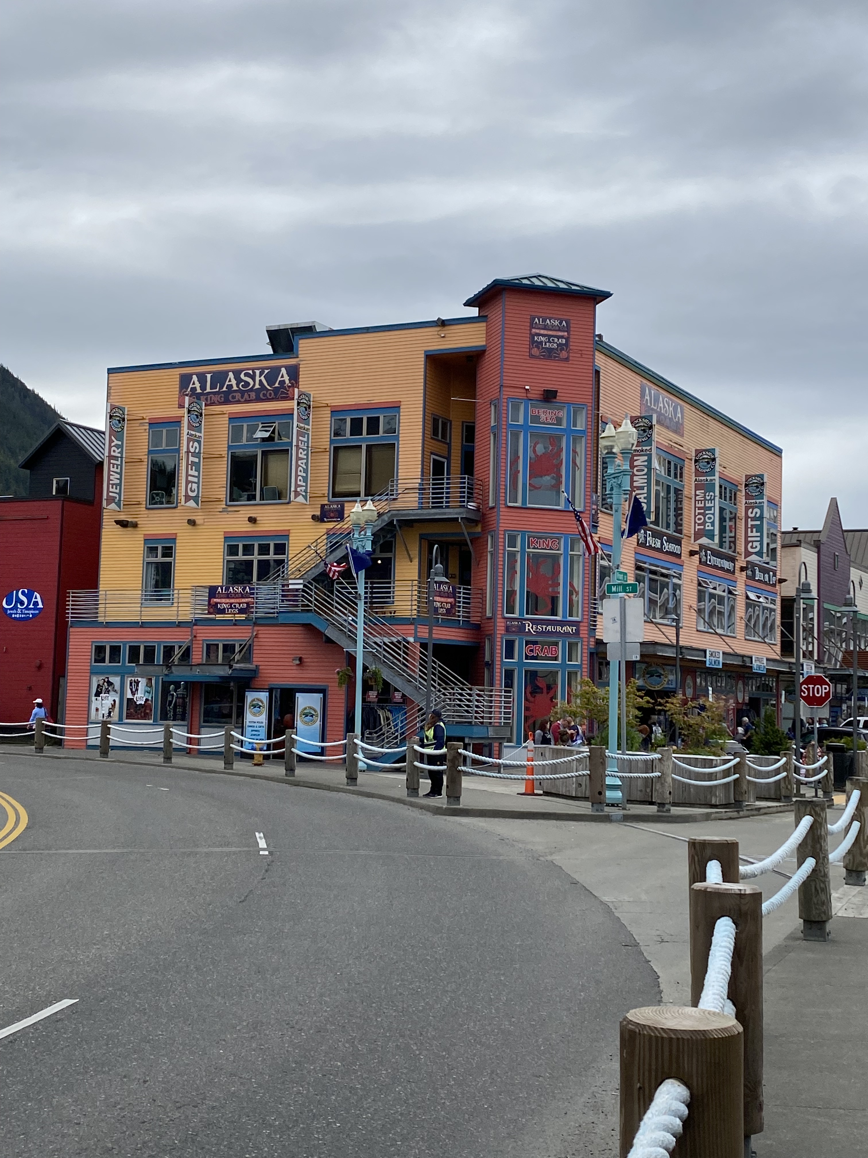
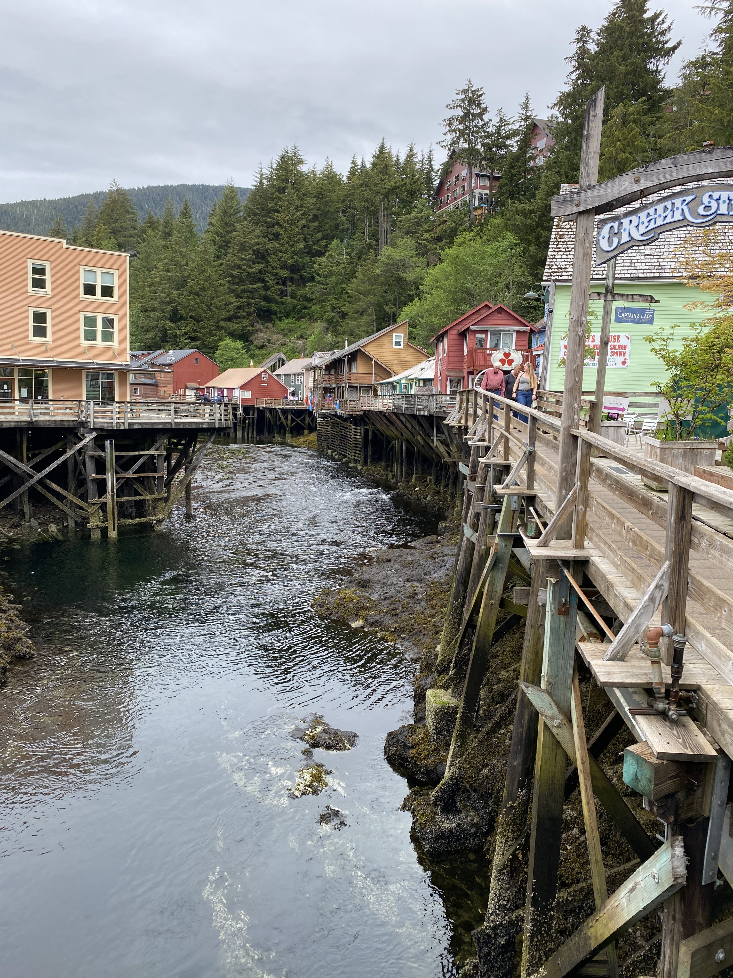
Three or more cruise ships arrive in Ketchikan daily, disgorging something like 10,000 passengers. All 10,000 mill around this otherwise small town filling the streets. The ships depart in the early evening and Ketchikan returns to being almost a ghost town. Only the houses near the cruise ships are well-maintained, the rest of the town is run down and in poor condition. I find it depressing to walk around the outskirts.
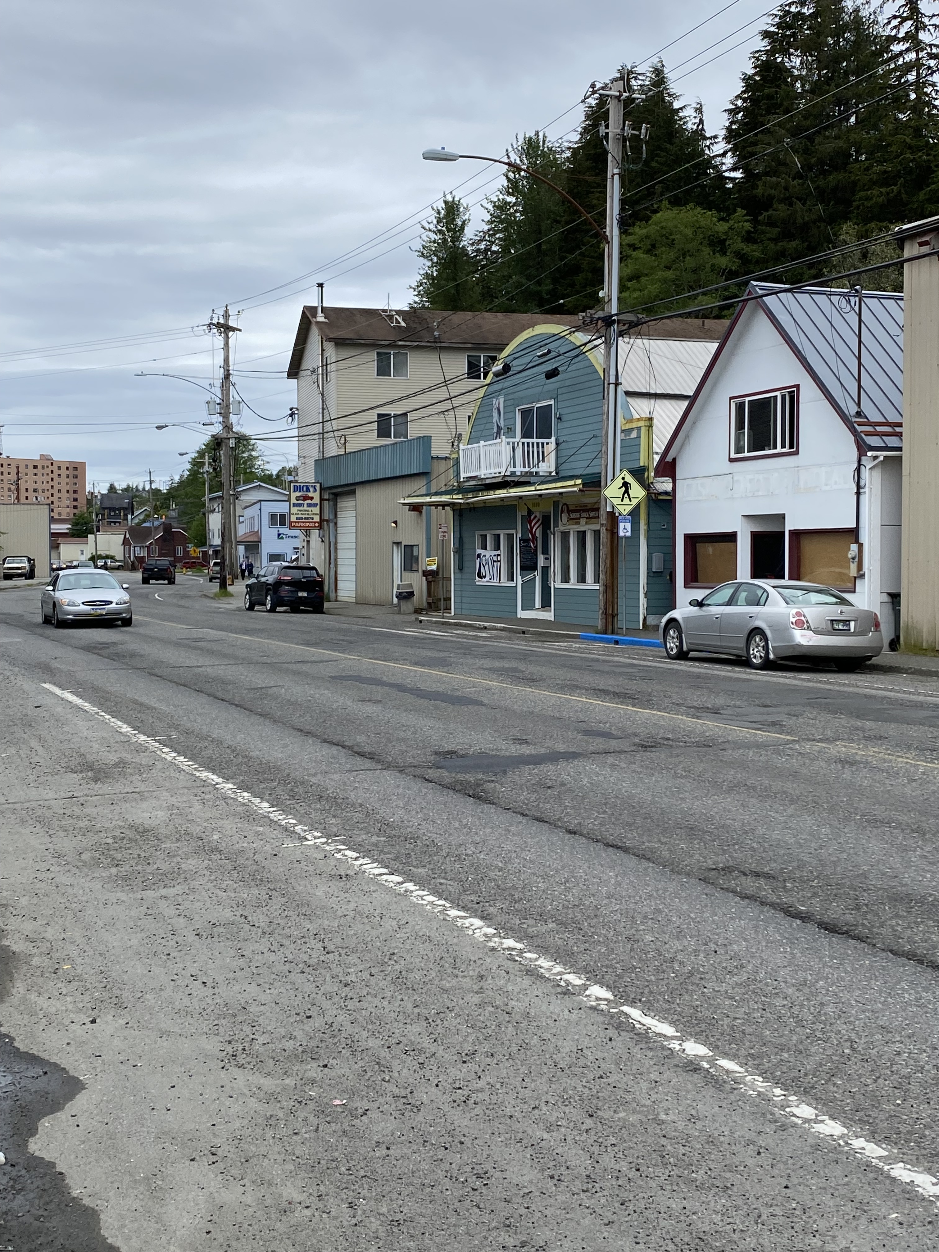
Alaska’s income sources are tourism, fishing, lumber and oil & gas. Looking at the town and its inhabitants – you’d not think this. We are really out in the backcountry.

Carsten has gone down to the autoparts store to buy a couple of new serpentine belts for the engine. We simply need to get the engine repaired before we can continue. In the meantime, I fell into a conversation with our neighbor boat, a local Alaskan. When he heard about our problem, he suggested that we call his mechanic, Jerry. Jerry is a nice guy and stops by the next day, Sunday. He can’t find the problem and has to leave after an hour or so – he doesn’t have any more time to spare. He says he will stop back when Carsten has the new belts.
We had a new spare belt that Carsten mounted when the squealing started, but it didn’t help. Jerry thinks the spare might have gotten old, lying in our spare parts box. Monday afternoon, the new belts arrive; Carsten mounts one and the squealing stops. Ok – we’ve now learned that belts can get old and the rubber decay. Time to get sailing.
Alaska has six to eight meters of tide (20 to 27 feet to you American types). That big a tidal swing means you have to take the tide and the tidal currents into account when you sail. All of Southern Alaska is one big collection of straits and narrows running between islands in every which direction, meaning the currents can (and do) run in every which direction. On top of that, the current may run in one direction at one end of the strait, but in the other direction at the other end of the narrows.
Hmmmm. Interesting.
Our tidal programs, Open CPN and Deep Zoom help us plan, but we are still surprised by freak currents and currents changing directions in the middle of a strait. The currents can also run as much as eight to nine knots, which makes docking in these fishing harbors a bit of a challenge. And not just for us. Yesterday I watched a professional fishing skipper have to make three attempts to dock, before he finally got into the slip. That helped with my self-confidence, which has been knocked about repeatedly up here with failed docking attempts. Carsten has failed several times also, but he doesn’t take it personally, like me (damn him).
Our next stop after Ketchikan is Wrangell, but we anchored up in Santa Anna after fifty-five nm. Santa Anna is a beautiful anchorage, but like most here, very deep. So you have to feel you way around in the bay until you find a shelf, close to land, where the water is “only” twenty meters or so. Since you are close (very) to land, there is little to no swinging room and therefore you can only lay out chain in the ratio 3:1 (chain three times as long as the water is deep). Our motto is; “In Mantus we trust”, even in a storm. We still believe that and we’ve always slept peacefully, no matter what the weather, but we’ve always also had a ratio of 5:1 out.
During the night, the winds reach gale force as they rush down the ravines between the cliffs. As usual, I wake and can’t fall asleep again after seeing that the anchor chain is stretched out a tight as a bar. I stayed up, reading while I worried about the anchor, until the winds died down, then I could crawl back into bed. Capri stayed put as if she was nailed to the seabed. Carsten snored through it all, completely unconcerned (damn him).
The next day was an easy sail of only thirty-four nm and we arrived in Wrangell early afternoon and bunkered fuel. There is almost no room on the dock. The harbormaster tells us to dock between a couple of old run-down fishing boats that are clearly in danger of sinking. Carsten backs Capri in, easing up to the boat in the back, while I hang off the front, trying to avoid our anchor getting fouled up in the other boat’s anchor. The harbormaster thinks there is plenty of room, but what does he know – he’s sitting up in the office.
There is room, just barely. Capri, with her anchor platform up front is about forty-two feet. This space was forty-three feet (Carsten measured). Despite having docked, we were not happy. The slightest swell would send us crashing into the boats either in front or in back. So we moved the boats in front forward five or six feet, giving us a little “breathing space.” We left at 3:30 the next morning, because we have to catch the tidal current through Wrangell Narrows. We never did visit the town, because we were so pissed about our dockage.
Wrangell Narrows is a narrows (gee, I would never have guessed it was narrow), twenty nm from Wrangell, infamous for it narrow (there’s that word again) channel. Our Pilot Book notes that it will be only nine meters wide and six meters deep at several points. Lest we forget the current, that runs five or more knots. We also have to start our entrance two hours before ebb tide. The two hours means we can make the run halfway up the narrows with a following tide to the point where the current switches directions and runs the other way. If we get there at the right time, we will have a following current the first twelve miles and a following current the rest of the way to Petersburg.
We did our homework well and reached the current switch point right on the mark, meaning we rolled all the way to Petersburg with a following tide. Wrangell Narrows is known locally as “Christmas Tree Lane” since there are sixty-six red and green buoys marking the channel. At night, they all are showing their red and green lights and it is supposed to be quite a show.
After arriving and getting a well-deserved shower, we strolled through the town that has a strong Norwegian heritage and is extremely proud of it. Many of the houses have rosemaling on the outside. There are Norwegian flags everywhere.


The weather turned, so we stayed here for a couple of days. On a happy note, we found that the library has a fast internet (and free to boot), so we can catch up on our mails and post a blog or too.
But we need to go north to the “real Alaska”. We want to see the famous glaciers, sail between the icebergs and watch the glaciers calving (I know what you are thinking – they really have a screw or two loose). First stop will be Tracy Arm, an unforgettable experience. Carsten will write about that and you will see some out-of-this-world pictures and videos – trust me.


